Game mode
Difficulty
Region
Countries I know0 / 0
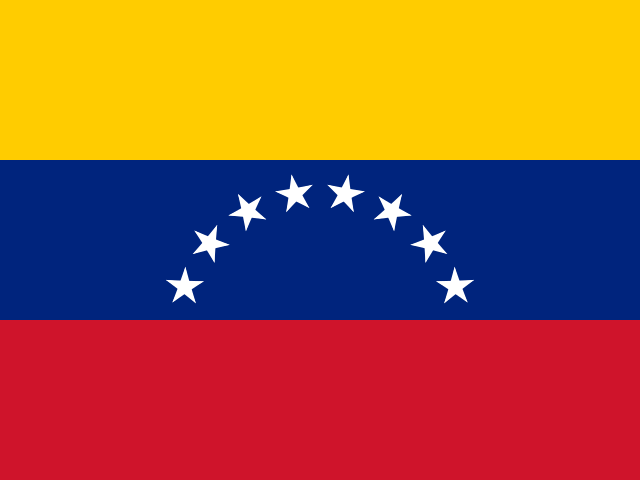
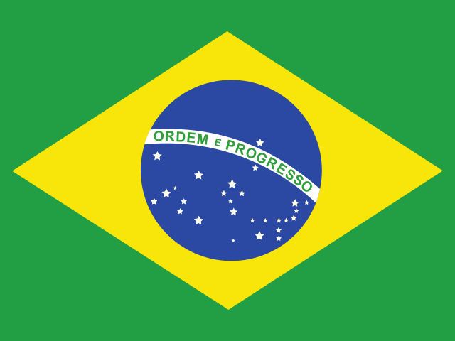
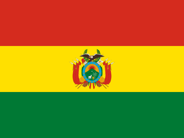
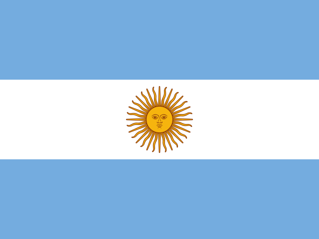
Borders from Natural Earth open map data (drawn along lines of actual control, so a few disputed areas may differ from maps you know). Flags from the open-source flag-icons project.
Mixed Geography Quiz: South America
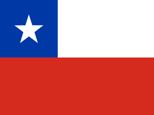
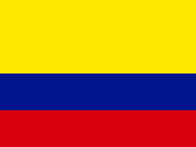
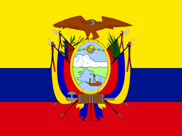
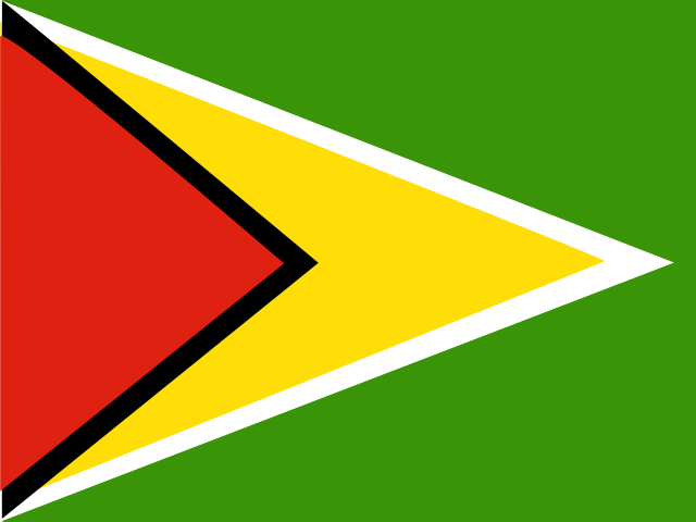
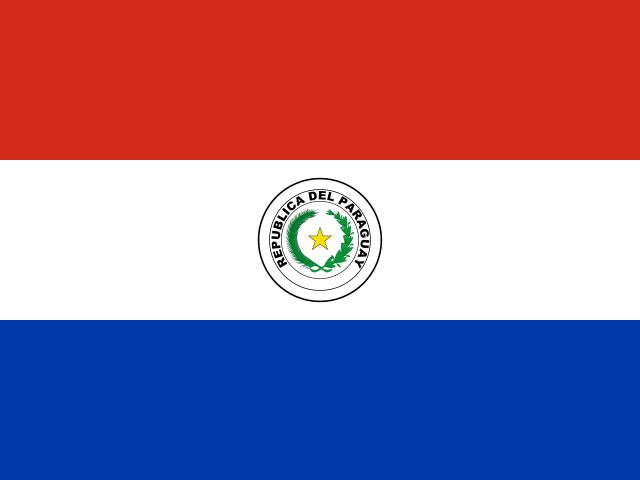
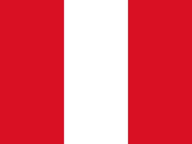
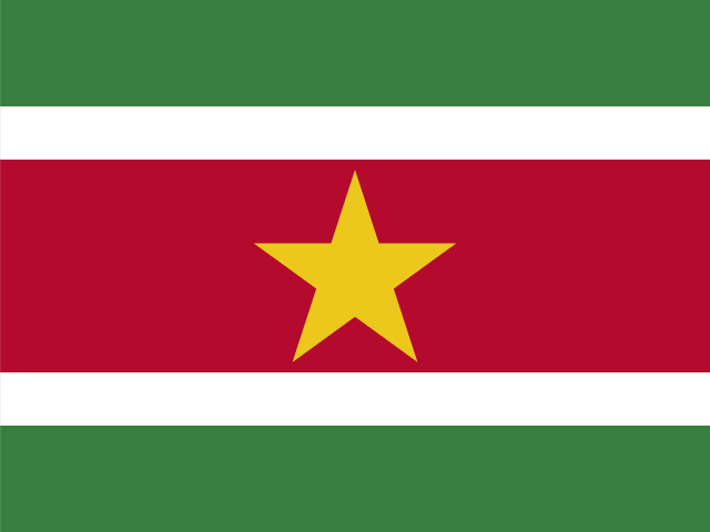
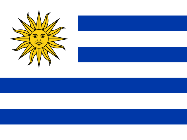
Shapes, flags and names are shuffled together in one lesson. This set covers 12 countries in South America, in three difficulty levels. After each answer you see where the country sits on the globe, its flag, its names in English and Chinese and in its local script. Missed questions come back before the lesson ends.
More ways to play
- Country Shape Quiz
- Find the Country Shape Quiz
- Flag Quiz
- Find the Flag Quiz
- Capital Quiz
- Guess the Country by Capital
- Mixed Geography Quiz
- Explore mode: tap the map to learn